Tuesday, 7 April 2015

 Monday of our final week and this magpie lark was hoping to share our breakfast that morning at Kulgera.


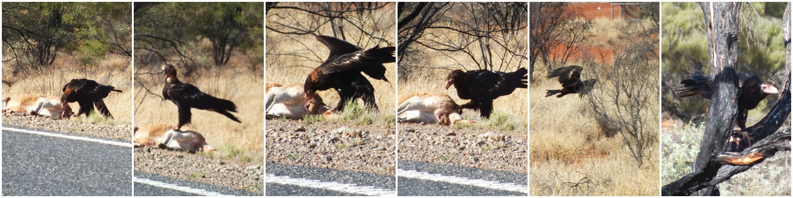
The eagle was reluctant to move when we went past so we were able to get some goodish photos of him feasting.
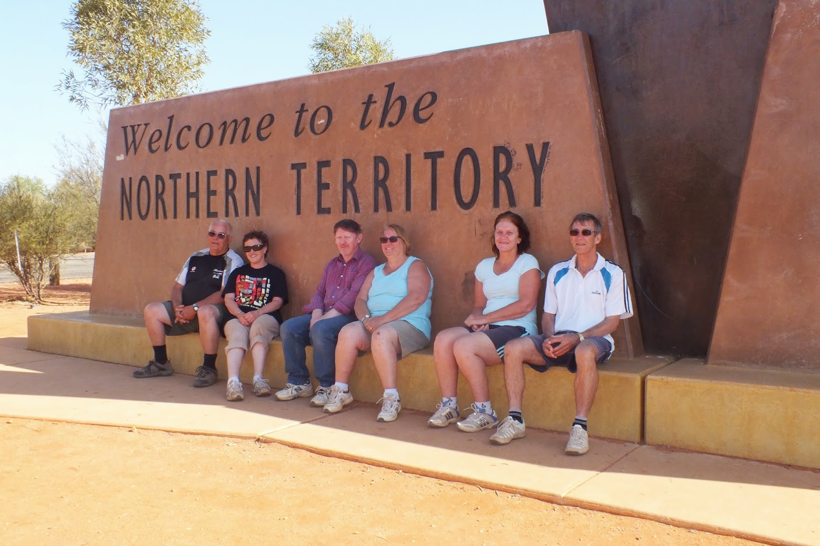
The obligatory border photo even though we were
heading into South Australia.


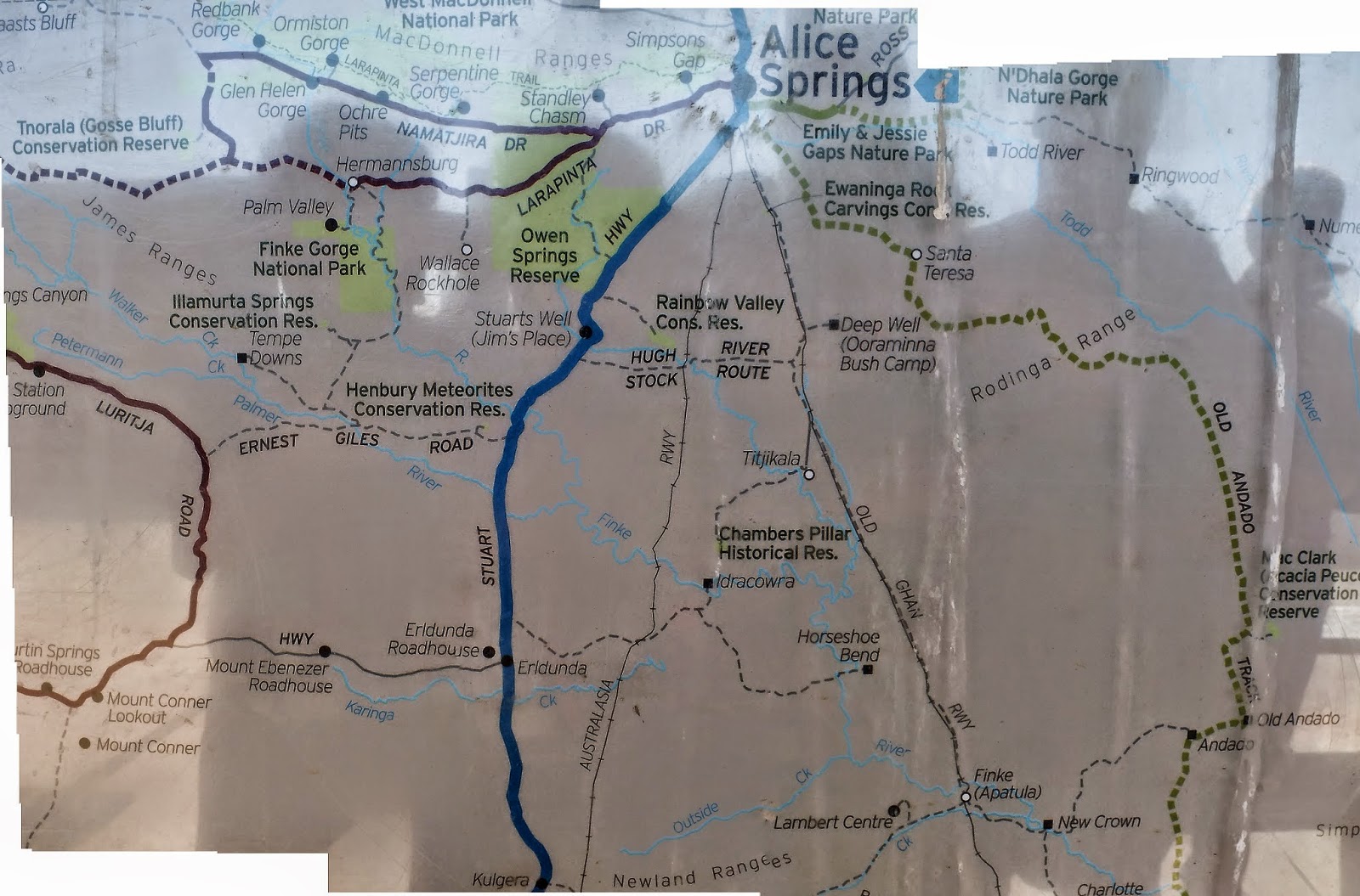
A map of our travels, well some of them. From Old Andado on the right to beyond Tnorala Conservation Reserve on the left and a lot more besides.

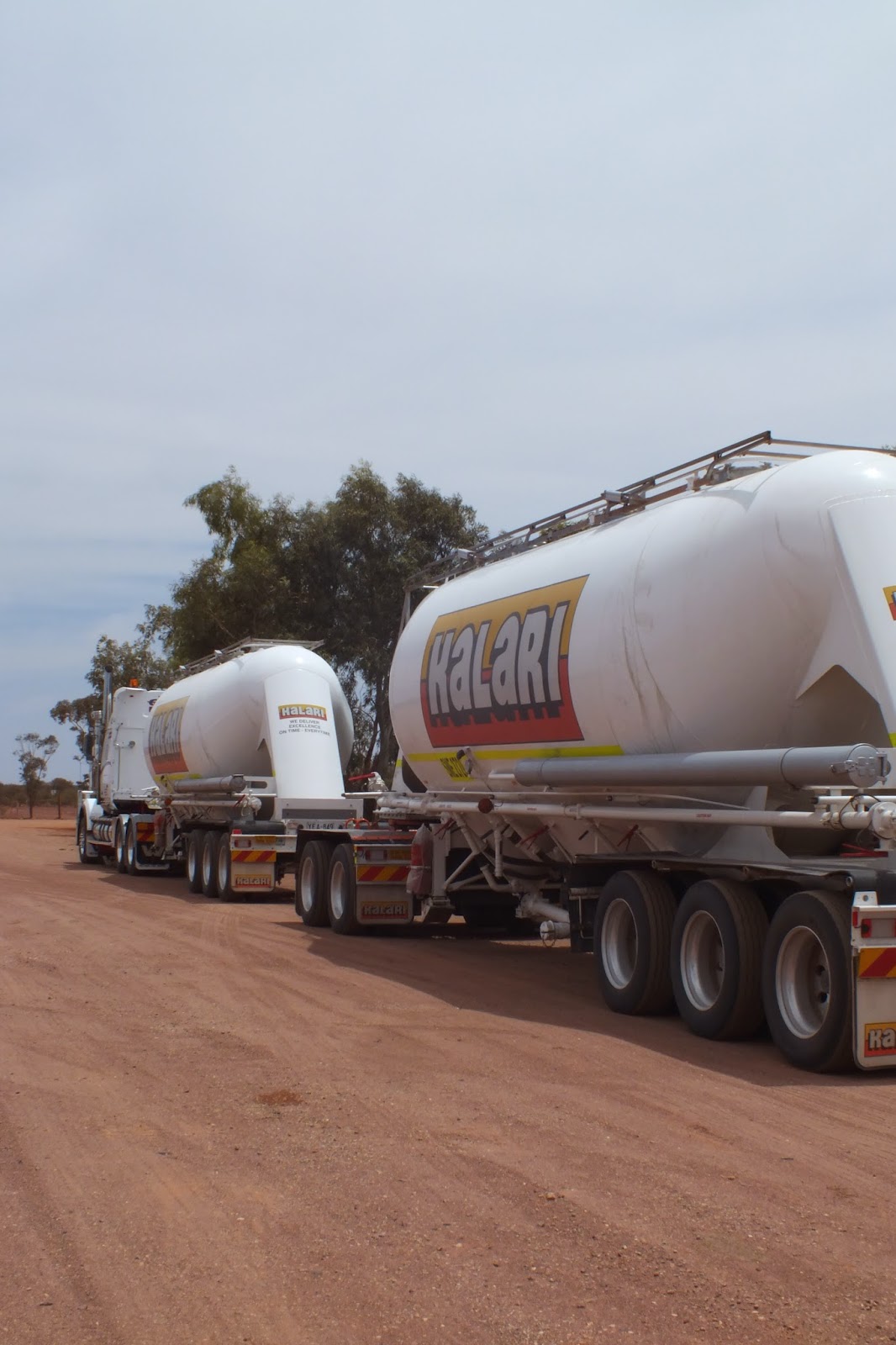
The road train was at Cadney Park.
"Road trains are an integral part of the Australian Outback, just like kangaroos, red dust and endless horizons.
The latter can be found in all parts of Australia, but the serious roadtrains, the ones with three or more trailers, are restricted to the Australian Outback regions"www.outback-australia-travel-secrets.com

I know which direction I would rather be travelling however it was on to Coober Pedy for the night. 


Before Coober Pedy ,we stopped to look at the amazing Breakaways.

" The Breakaways are a striking & unique example of arid scenery. From the flat - topped mesas to the stony gibber desert, remnants of millions of years provide a wealth of geological interests and breathtaking views. Looking out over the breakaways it is hard to believe that over 70 million years ago, a vast inland sea covered the area. The region is rich in Aboriginal and European history and is home to an array of native fauna and flora, which have successfully adapted to one of the world's harshest environments. Definitely one of Outback South Australia's best-kept secrets!"www.cooberpedy.sa.gov.au


Our land cruiser parked next to the "salt and pepper" formation, known by the aboriginals as "the two dogs."
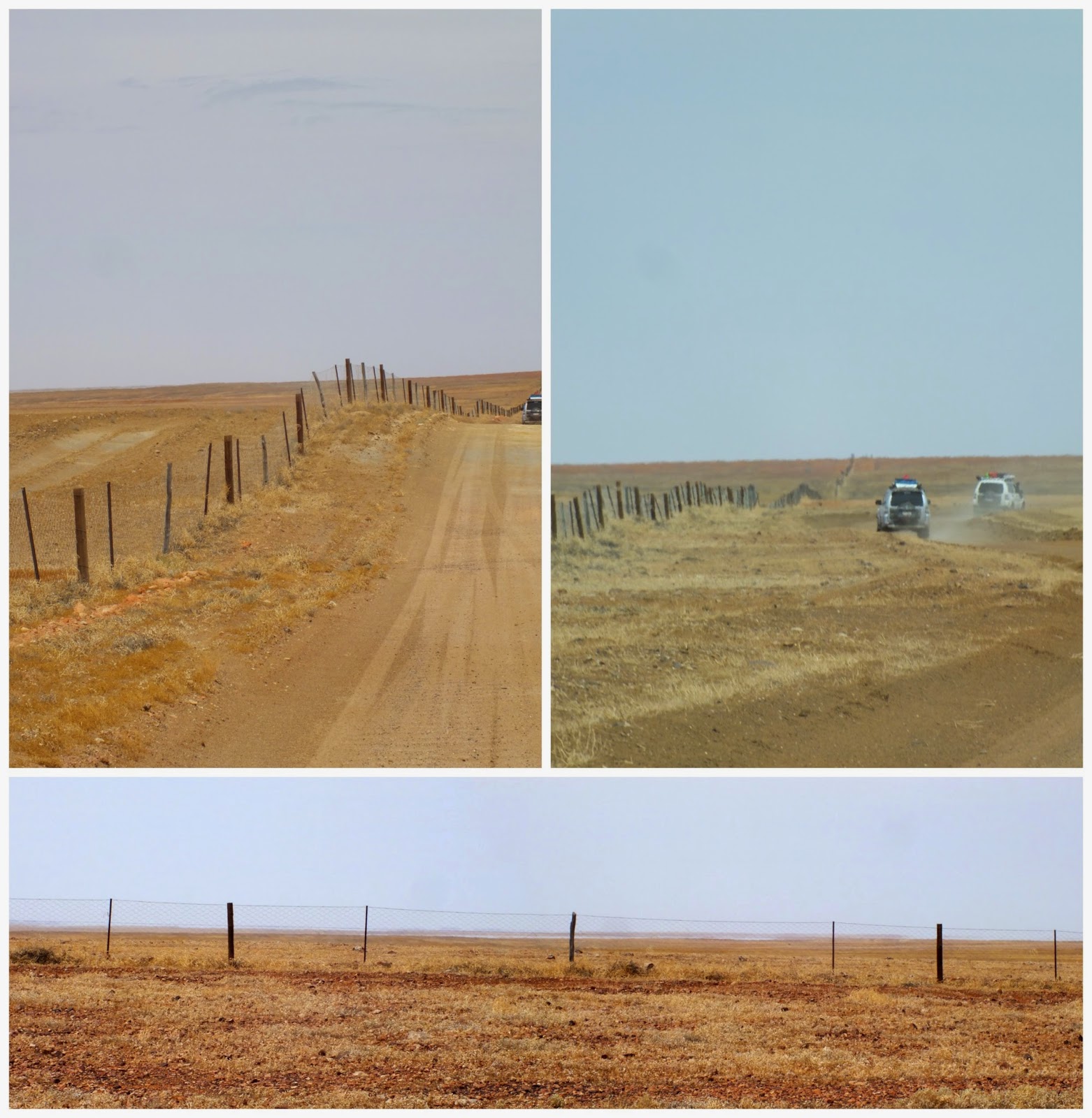
The Dingo fence.
 This is the world's longest fence - and it's there just to keep dingoes out of south-east Australia. The Dingo Fence is almost 3,500 miles long and separates dingoes from the fertile land in the south-east, where sheep and cattle graze. www.dailymail.co.uk 

Always give way to road trains...they're bigger then you.
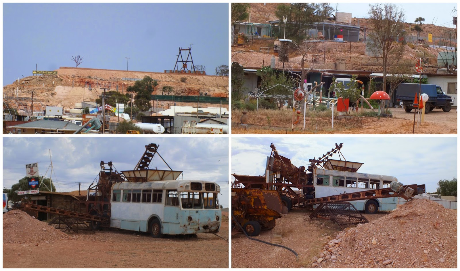
At last the fascinating  opal mining town of Coober Pedy,.

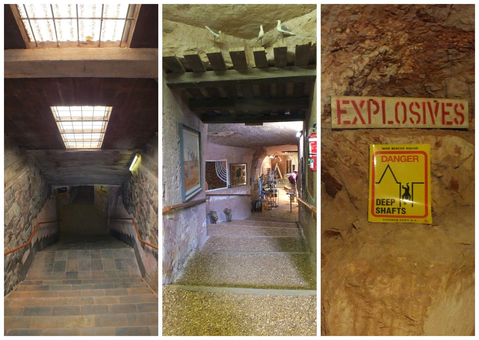
As soon as we were set up at the caravan park we visited the shops. This one is the Underground Art Gallery.

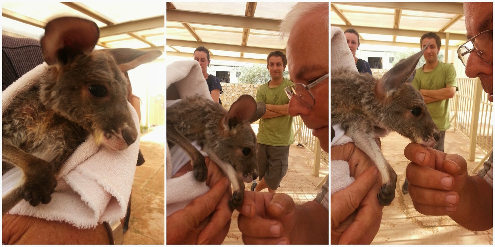
Mark and I visited the gallery and kangaroos at Josephine's Gallery and Kangaroo Orphanage.
"The kangaroo orphanage came about as a need to care for injured and damaged kangaroos and joeys. Some of them have been hit by cars, others were in their mothers' pouch when she was hit by a car. Some of them have been hunted for meat by the aborigines, only to discover that a baby was in the pouch of the kangaroo mother. They are then brought into the orphanage. www.weekendnotes.com "


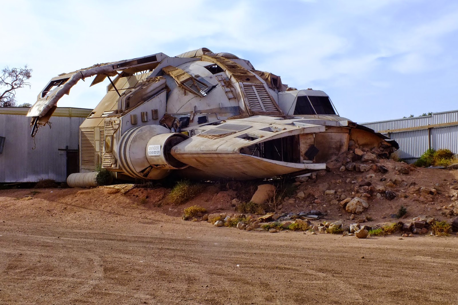
There are all sorts of strange things to see in this town. This is a leftover from some movie.
I find Coober Pedy as fascinating place and would love to come back again one day.

Thursday, 2 April 2015

The previous evening before tea, we were visited by one of the elders from the community. Though we had permission to camp there, it seems he just wanted to check for himself that we had been told we could . We assured him  that everything was okay and that all would be left as we found it. He was happy with that and left us for the night.
Then next day we cleaned up and headed for Wingellina where we were told we could top up the cars with fuel.
One final pose at the the corner post before we left.
 Once we arrived at Wingellina, we learnt that the aboriginal who had the key to the fuel pump, which was securely locked up in a metal cage, had disappeared for the day and we were unable to top up. We still had a couple of jerry cans full so we used them instead.
We then got permission to photograph the side of the community building before going in to see the art centre . We had already had a couple of women come up to us to sell us some of their craft work. I bought a couple of baskets from them.
After that we were on our way again, travelling along the Giles-Mulga Road formerly known as the Gunbarrel Highway. There were huge patches of water along here which the men loved going through.
There were alot of cars along this road that had been dumped. Some one has a sense of humor though...

The countryside was  fabulous and there were more Len Beadell markers to be seen.

Amata was one of the nicer looking communities we passed. At least it seemed that way from a distance.
Passing Mt Connor on our right this time we finally arrived at Curtin Springs were we had lunch and refuelled.
Our next stop was at the Mt Ebeneezer roadhouse for ice creams and drinks.


We spent the night at Kulgera with another beautiful sunset.
And so ended the first day of our last week travelling. We were now homeward bound.

Wednesday, 1 April 2015

Today we packed up early and headed off towards Western Australia and the Surveyor Generals Corner where NT WA and SA all meet.
The road ahead was dry despite last night's storm.

A final glimpse of Kata Tjuta.
We were now on roads that none of us had travelled before. It's remote country out here.
This area is all part of the Petermann Range and the Great Victorian Desert. That's a legless lizard in the photo, not a snake as we first thought.

We arrived at Lasseter's Cave in time for morning tea.

Lasseters Cave is located on the banks of the usually dry Hull River in a place called Tjunti. It is reputedly the spot where Lewis “Harold Bell” Lasseter, explorer and prospector took refuge when he lost his camel train on an expedition to locate the infamous “Lasseter’s Reef” in 1931. Lasseter eventually died attempting to walk the 140km to Kata Tjuta. There is some debate as to whether the gold ever existed, modern geological analysis suggests that it’s impossible. Some evidence might also suggest that Lasseter was simply playing out and elaborate con planning to elope with his investors money, but we’ll never know.
Posted by Rob on August 14, 2012 in Travelogue             http://sharkaroo.net/
We were joined by a gecko wanting to share our shade at the table.

We thought of stopping here but changed our minds.


The border at  last.

Saltbush and blue periwinkles.
The landscape around here was beautiful, dry and rugged.
I think this is a sand monitor.
The turn off to Wingellina, the nearest community to the tri-corner. We had to stop there to collect a guide to take us out there.
Even wild camels need shade from the afternoon sun. 

  1. Leonard Beadell OAM BEM FIEMS was a surveyor, roadbuilder, bushman, artist and author, responsible for opening up the last remaining isolated desert areas of central Australia from 1947 to 1963.Wikipedia
The track from Wingellina to the tri-corner.
Our destination--- the Surveyor Generals Corner.This is the first marker.
The corner consists of two actual markers separated by a distance of 75 metres. this creates a dogleg in the WA border. 
Access to the area is restricted following a decision by the Irrunytju (Wingellina) Community in whose traditional land the Surveyor Generals Corner is situated and permission is needed to visit.
There were signs that there were snakes around as well as odd piles of sand made by something.On the right is the second marker.


It's a nice campsite if you can permission to camp here. No toilet but a decent shelter with table and seats as well as a fireplace with a BBQ plate.
The obligatory photo around the post followed by tea.
That night we were treated to a beautiful outback sunset.