 |
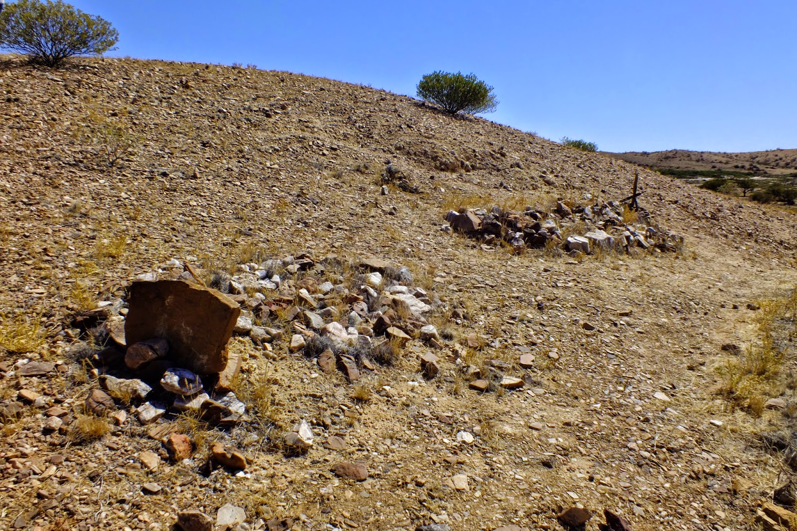
| More ruins on the side of the road. |
 |
| The memorial to the explorer, W.E.Giles, and his expedition. |

 The memorial is near the turn off to the Peake Telegraph Station ruins. As well as being a major centre for the telegraph line, it also supported a copper mine community until the early 1900's. Well worth the stop, there are leaflets supplied with the history and guided walks of the area. We walked up to the mine smelter where you could still find rocks with the unmistakable green of copper in them.
There are numbered stops along the walks that correspond with the guided walk leaflets, one being this old coolibah tree on the river bank.
 |
| A tumbled down outhouse. |
We climbed up to the top of the old smelter and looked back towards the station. Such a dry, desolate place to live and work.


 |
The Algebuckina the longest bridge in Australia and was made high to withstand times of flood. Opened in 1892, it was strengthened in 1926 so it could support heavier trains. It crosses the Neale River floodplain.
We drove up a steep track behind and to the left of the bridge were we got amazing views of the surrounding area including the water hole on the other side of the road.
There is a gate to go through on the right side of the Oodnadatta track, opposite the bridge, which takes you to this beautiful camping spot. There are no facilities at all so you need to bury your toilet waste otherwise the dingoes will dig it up. The waterhole is a lovely place to for a welcome swim so getting out is a challenge as the bank is very muddy and slippery. There weren't any other campers though so we had the place to ourselves along with the rainbow bee eaters with their glorious colours. Perfect!
 |
| A sunset dinner whilst tiny insects fly around the light. |


No comments:
Post a Comment