Showing posts with label #oodnadatta track. Show all posts

Monday, 15 December 2014

Our early morning view from the tent.
 

The next morning we said farewell to the waterhole and headed off to have a look at the bridge from the other bank.It really is a marvel of engineering being built to withstand a raging river in flood.

 The fruit of the saltbush, edible but very salty.
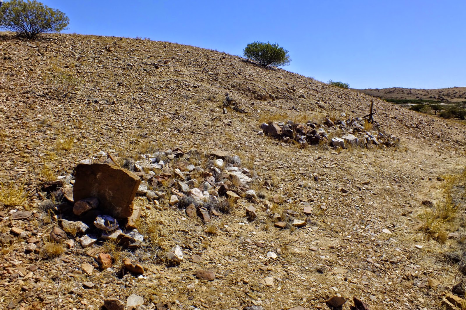
A lonely grave near the Mt Dutton ruins in the midst of a gibber plain.


 We also stopped to have a look at the bridge crossing the North Creek floodway. The creek is a gravel one which is a rarity in the area. On the right is what's left of the train track.


 Next stop was Oodnadatta and the iconic Pink Roadhouse.


 Run by Adam and Lynn Plate for many years, Adam passed away a few years ago. The town has its own Aboriginal community and it's not a bad idea to walk up to the Railway museum. Even in the outback one can find an example of "yarn bombing"


The community house.

This poem was written for aboriginal mothers and children who were forcibly separated from each other.

The Angle Pole memorial recognizes the great achievement made by the completion of the overland telegraph, a feat of hardship and determination in a harsh environment.


Soon after Oodnadatta we reached the turnoff to Dalhousie Springs at the edge of the Simpson desert.We were looking forward to a swim in the warm waters of the springs later that evening.


After crossing over Fogartys Claypan and carefully passing cows who wanted to cross the track, we reached the next turnoff to Dalhousie near the Hamilton river.

    the Pedirka Siding ruins and time to relax. :)


The next set of ruins that we stopped to explore were those of the  Dalhousie station.For more information on the station look up this site:
http://www.ausemade.com.au/sa/destination/w/witjira-np/dalhousie-ruins/dalhousie-homestead.htm

There a number of unknown graves at the station.
The yards were constructed from local wood by the Aboriginal stockmen.

Not far from the station ruins there was a lookout over the hot springs, a patch of green in a barren                                                                                         landscape.

                  Swimming in the hot spring was like being in a bath where the water never gets cold. Heaven.

Though a lovely place to camp, make sure the fly protection is used as the mossies are really bad here.

Monday, 8 December 2014

Day 6: From Williams Creek to Algebuckina.

After sharing a portion of my breakfast with our feathered friends, I had a walk around the Memorial Park. Situated in front of the camping ground you can see the first stage of Britain's Black Arrow rocket that came down in nearby Anna Creek Station which ,by the way, is the worlds largest cattle station. There are also memorials to people who have lost their lives in the surrounding area as well as a signpost pointing the way to many of the worlds cities, a telephone powered by a solar panel and a parking meter which serves as a donation box for the Royal Flying Doctor Service. We were not in a hurry this morning as Sharon and John had taken a early morning flight over Lake Eyre, something we had already done on a previous trip.


Did I say what a tough life it was for the local dogs. Yesterday they were dozing in air conditioned comfort in the pub when we arrived.
We took off again around eleven when Sharon and John got back from their flight. Still following the track of the old Ghan, someone had been busy making words with sleepers on the embankment.

More ruins on the side of the road.

The memorial to the explorer, W.E.Giles, and his expedition.
The memorial is near the turn off to the Peake Telegraph Station ruins. As well as being a major centre for the telegraph line, it also supported a copper mine community until the early 1900's. Well worth the stop, there are leaflets supplied with the history and guided walks of the area. We walked up to the mine smelter where you could still find rocks with the unmistakable green of copper in                                                       them.

There are numbered stops along the walks that correspond with the guided walk leaflets, one being this old coolibah tree on the river bank.
A tumbled down outhouse.


We climbed up to the top of the old smelter and looked back towards the station. Such a dry, desolate place to live and work.


 There are three walks to do : around the station; to the smelter and to the cemetery. We did all three.


After our exploration of the area, it was back into the cars and off to the Algebuckina Bridge and waterhole where we planned to spend the night.


 The Algebuckina the longest bridge in Australia and was made high to withstand times of flood. Opened in 1892, it was strengthened in 1926 so it could support heavier trains. It crosses the Neale River floodplain.
We drove up a steep track behind and to the left of the bridge were we got amazing views of the surrounding area including the water hole on the other side of the road.


There is a gate to go through on the right side of the Oodnadatta track, opposite the bridge, which takes you to this beautiful camping spot. There are no facilities at all so you need to bury your toilet waste otherwise the dingoes will dig it up. The waterhole is a lovely place to for a welcome swim so getting out is a challenge as the bank is very muddy and slippery. There weren't any other campers though so we had the place to ourselves along with the rainbow bee eaters with their glorious colours. Perfect!


A sunset dinner whilst tiny insects fly around the light.