Today we packed our camp but,before leaving, we had one more walk to do into the main part of Palm Valley, the Arankaia Walk. It was going to be another very hot day.


This was one of my favourite walks of the trip. A really beautiful place.
Palm Valley is the only place in Central Australia where Red Cabbage Palms survive, a reminder of the area's tropical past.
 |
| Cycads can also be seen growing among the rocks. Some of these are aged between 200 to 300 years old. |
 |
| Ghost gums provide a contrast between the greenery of the palms and the red of the rocks. |
Behind a rock we spied the tail of a rock wallaby who kindly posed for a series of photos.

 |
| It was a steep climb to the top but well worth the views. |
 |
| And down below we could see the cars. |
Footprints and squiggles in the sand.
 |
| Our Landcruiser did not let us down at any time. |
 |
| On the way out we stopped to look at the cycads |
As we left Palm Valley we saw a small group of horses.
 |
| Enjoying the views on the drive back towards Hermannsberg. |
We had a quick stop at Hermannesberg to stop at the shop for refreshments before visiting Albert Namatjira's house.
From there we detoured to Tnorala/Gosse Bluff.
"According to Aboriginal belief, Tnorala was formed in the creation time, when a group of women danced across the sky as the Milky Way. During this dance, a mother put her baby aside, resting in it's wooden baby-carrier (a turna). The carrier toppled over the edge of the dancing area and crashed to earth where it was transformed into the circular rock walls of Tnorala.
The Aboriginal and scientific interpretation of the Bluff are similar in that both have a celestial origin.
Around 142.5 million years ago an object from space, believed to be a comet about 600 metres across, crashed to earth, blasting a crater some 20km across. Today's land surface is about 2km lower than the original impact surface and the bluff is about 5km in diameter, reduced over time by erosion.
The remnant crator was named Gosse's Range by the explorer Ernest Giles in 1872 after H. Gosse, a fellow of the Royal Society.
Title for the Reserve was granted to traditional owners and is now jointly managed with the Parks and Wildlife Commission." (www.parksandwildlife.nt.gov.au)
 |
| Mark climbed to the top of the lookout. |
 |
| After leaving Tnorala we turned onto the Mereenie Loop Road to go to Kings Canyon. You need permits to travel this road as it passes through Aboriginal land. No stopping is allowed except at Ginty's Lookout though we did made an unscheduled stop in a dry creek bed for a quick lunch. |
The road wasn't that bad as it had been recently graded though care was still required.
 |
| The view from Ginty's Lookout. |
 |
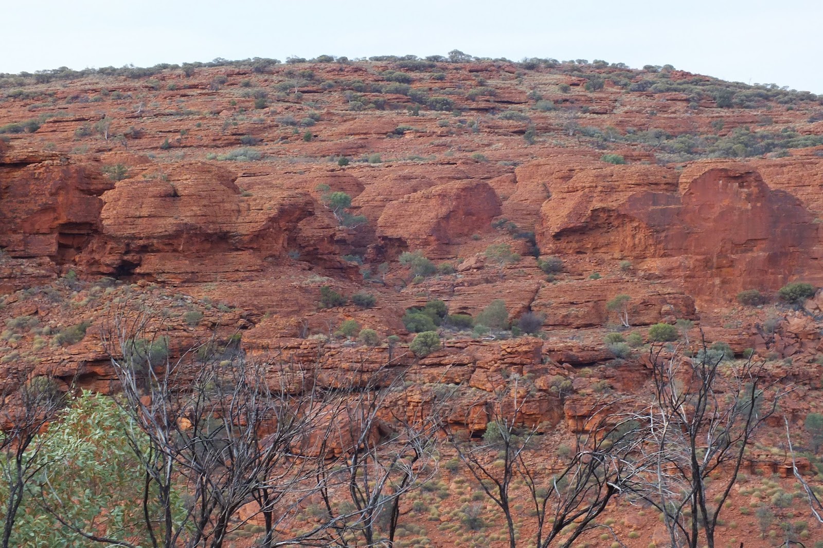
the George Gill Range.
Kings Canyon is part of the Watarrka National Park in the Northern Territory, Australia. Sitting at the western end of the George Gill Range, it is 323 km southwest of Alice Springs and 1,316 km south of Darwin.( Wikipedia)
|
We almost missed the sunset at the Kings Canyon Resort.


 The views were amazing.


